‘It’s not just about circling things on a map’: how our journalists use and corroborate satellite imagery
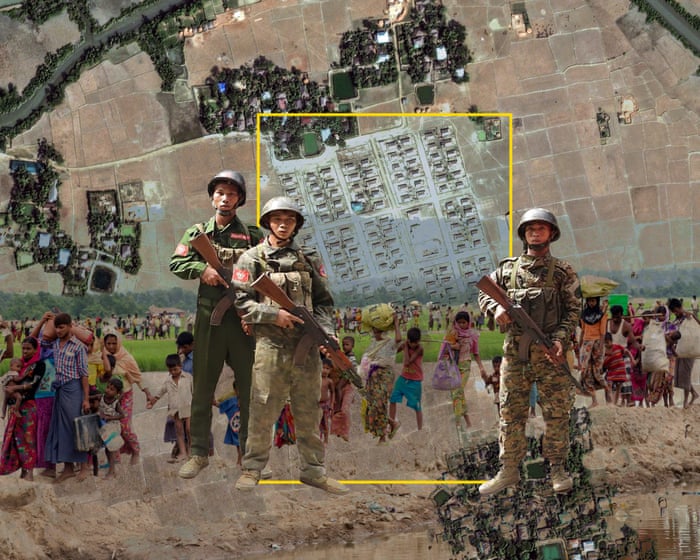
From the destruction of Gaza to climate breakdown, satellite imagery has become an indispensable reporting tool. But as a recent Guardian investigation illustrates, a lot of work goes into ensuring its veracity and keeping the focus on the people…
Read the full story at The Guardian ↗
ImpactNotable 33/100
Why it mattersRule-based estimate: no strong signals; trust 8/10.
RegionsUnited Kingdom
Published2 h ago (Sun, 11 Oct 2026 13:00:27 GMT)
RetrievedSun, 11 Oct 2026 14:00:21 GMT via rss
ClassifiedSun, 11 Oct 2026 14:00:35 GMT by heuristic
AuthorGautam Malkani